Overview
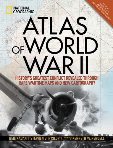
This magnificent atlas delves into the cartographic history of WWII: naval, land, and aerial attacks from the invasion of Poland to Pearl Harbor and the Battle of the Bulge. Rare maps include a detailed Germany & Approaches map used by Allied forces in the final stages of the war, full large-scale wartime maps of the world used by President Roosevelt, and crucial Pacific theater maps used by B-17 pilots. Satellite data renders terrain as never before seen, highlighting countries and continents in stunning detail to include the towns, cities, provinces and transportation roads for a pinpoint-accurate depiction of army movements and alliances. Gripping wartime stories from these hallowed fields of battle, along with photographs, sketches, confidential documents, and artifacts color the rest of this timeless and informative book.
While major retailers like Amazon may carry Atlas of World War II (History's Greatest Conflict Revealed Through Rare Wartime Maps and New Cartography), we specialize in bulk book sales and offer personalized service from our friendly, book-smart team based in Portland, Oregon. We’re proud to offer a Price Match Guarantee and a streamlined ordering experience from people who truly care.
We’re trusted by over 75,000 customers, many of whom return time and again. Want proof? Just check out our 25,000+ customer reviews—real feedback from people who love how we do business.
Prefer to talk to a real person? Our Book Specialists are here Monday–Friday, 8 a.m. to 5 p.m. PST and ready to help with your bulk order of Atlas of World War II (History's Greatest Conflict Revealed Through Rare Wartime Maps and New Cartography).

